Wake early…
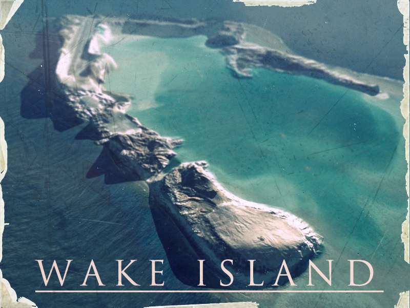
From Wikipedia : “Wake Island is a coral atoll in the North Pacific Ocean, located about two-thirds of the way from Honolulu 2,300 statute miles (3,700 km) west to Guam 1,510 statute miles (2,430 km) east. It is an unorganized, unincorporated territory of the United States, administered by the Office of Insular Affairs, U.S. Department of the Interior. Access to the island is restricted, and all current activities on the island are managed by the United States Air Force.” The gamers among you may know Wake Island from the Battlefield series of games, where it’s popularity as a multiplayer map has never waned. In the early days of developing Dogfighter, we needed a basic landscape map to test out flight controls and as hardened Battlefield fans, we chose Wake.
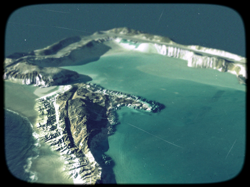
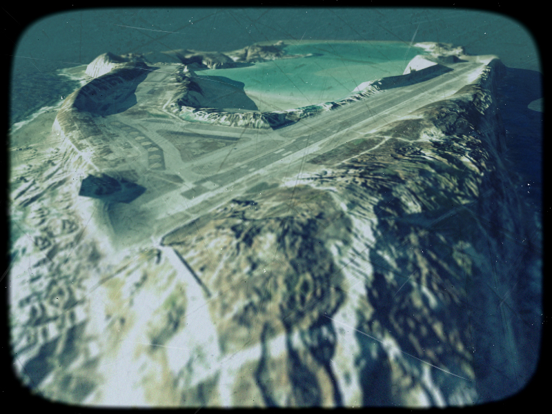
These images of Wake Island are renders from 3DSMax with heavy post work in Photoshop. They were modelled and textured from overhead photographs for a very early prototype of Dogfighter. The textures didn’t hold up well close up, but were fine for backgrounds for firefights between biplanes at high altitude. The elevation of the island was guessed, and the more rugged areas of high ground were elevated based on shadowing in the overhead source images. I generated a 4k normal map by hand to add roughness to the beach areas where the island met the sea and stitched together overhead photographs to fluff out detail. The images were rendered for promotional material, probably a game design document or pitch and were treated to look like old printed postcards and polaroids.